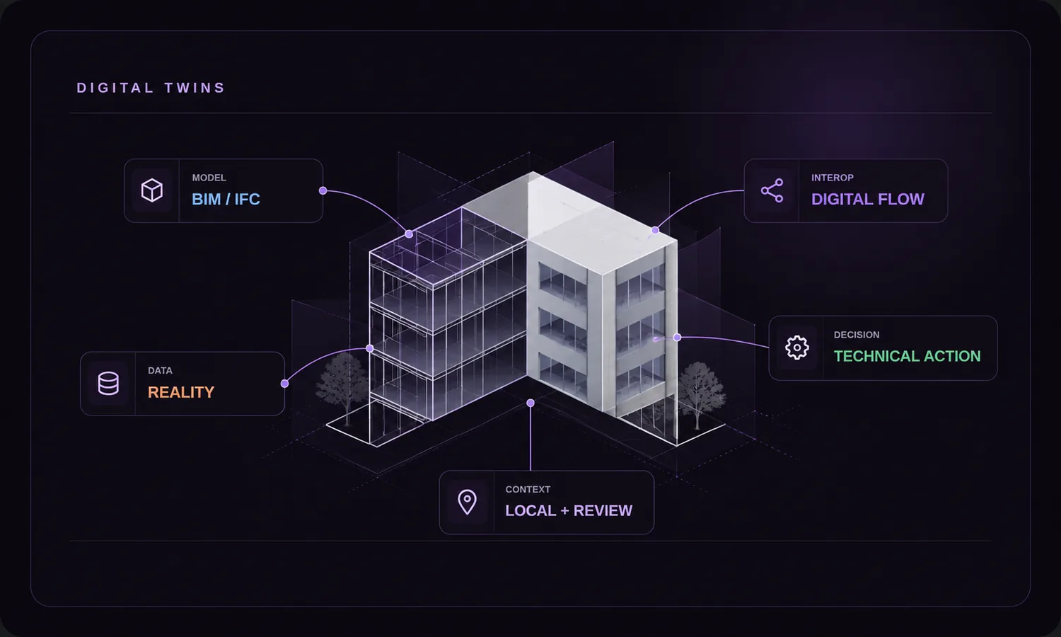
The city's documentation distinguishes its aerial-photo-based 3D mesh from its urban data model containing building and terrain information. Visual representation and structured information address different needs.
Case reference: Cidade de Helsinki — Helsinki 3D ↗
A project belongs to its surroundings
Roads, neighboring buildings and terrain influence a site's context. A shared spatial reference allows them to be considered alongside a project rather than treating the model as an isolated object.
Reuse still requires validation
Existing data can reduce repeated preparation. Its source, date, license and suitability must still be checked. Information suitable for context is not automatically adequate for engineering measurements.
Geometry and attributes complement each other
A mesh supports visual understanding. Identified objects and attributes support more specific queries and relationships. The choice should follow the question being asked.
Apply the principle at site scale
Even on a single project, recording coordinates, units and versions helps combine surveys from different visits. A consistent baseline matters more than adding detail without a clear purpose.
From reference to application
Geminarium's spatial context work follows this direction: connecting BIM and site records to their surroundings while keeping the origin and limitations of data visible.